 vesseltracker.com
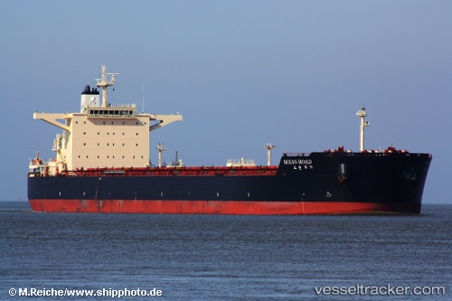
Ocean Road
Current StatusWhere is the vessel?
Ocean Road is currently in 123 nm W of Laoag, Luzon, based on AIS data received less than 1h ago.
Latest AIS update:
Current position: 18.76478° N, 118.51282° E (123 nm W of Laoag, Luzon)
Average speed (last 7 days): Loading…
Average speed (last 30 days): Loading…
Vessel profile: Ocean Road is a Bulk Carrier with dimensions 45m x 292m.
This page combines live AIS, route history, probable destination signals, nearby traffic, and port activity for practical vessel monitoring.
The current position of vessel Ocean Road is 18.76478 lat / 118.51282 lng. Updated: 2026-04-16 19:44:12 UTCNearest reference points:
- 138 nm NW of Bolinao
- 22 nm W of Salomague
- 148 nm SE of Xijiang
Details:
Live Vessel Ocean Road Analytics (details, animations, etc.)
Recent AIS points (UTC):
2026-04-16 12:19:02 UTC · 19.83435, 119.55118 · SOG 11.6 kn · COG 220°2026-04-16 14:16:42 UTC · 19.55540, 119.28037 · SOG 11.7 kn · COG 225°
2026-04-16 15:54:13 UTC · 19.32308, 119.04717 · SOG 11.4 kn · COG 223°
2026-04-16 19:44:12 UTC · 18.76478, 118.51282 · SOG 12.2 kn · COG 226°