 vesseltracker.com
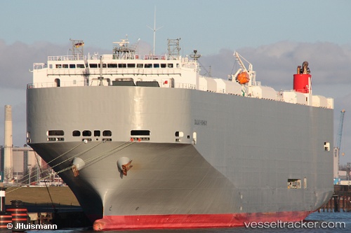
Dalian Highway
Current StatusWhere is the vessel?
Dalian Highway is currently in 10 nm SE of Daxie Pt, based on AIS data received about 1d ago.
Latest AIS update:
Current position: 29.79068° N, 122.11299° E (10 nm SE of Daxie Pt)
Average speed (last 7 days): Loading…
Average speed (last 30 days): Loading…
Vessel profile: Dalian Highway is a Vehicles Carrier with dimensions 32m x 199m.
This page combines live AIS, route history, probable destination signals, nearby traffic, and port activity for practical vessel monitoring.
The current position of vessel Dalian Highway is 29.79068 lat / 122.11299 lng. Updated: 2026-04-10 08:29:00 UTCNearest reference points:
- 10 nm SE of Daxie Pt
- Near Daxie Pt
- Near ZHOUSHAN
Details:
Live Vessel Dalian Highway Analytics (details, animations, etc.)
Recent AIS points (UTC):
2026-04-10 01:47:01 UTC · 29.79063, 122.11299 · SOG 0 kn · COG 61°2026-04-10 03:56:00 UTC · 29.79063, 122.11300 · SOG 0 kn · COG 61°
2026-04-10 05:41:00 UTC · 29.79067, 122.11301 · SOG 0 kn · COG 61°
2026-04-10 08:29:00 UTC · 29.79068, 122.11299 · SOG 0 kn · COG 61°