 vesseltracker.com
 A SUKAI
Current Status
Where is the vessel?
A SUKAI is currently in Near CHANGXINDAO, based on AIS data received about 5d ago.
Latest AIS update:
Current position: 39.51122° N, 121.40000° E (Near CHANGXINDAO)
Average speed (last 7 days): Loading…
Average speed (last 30 days): Loading…
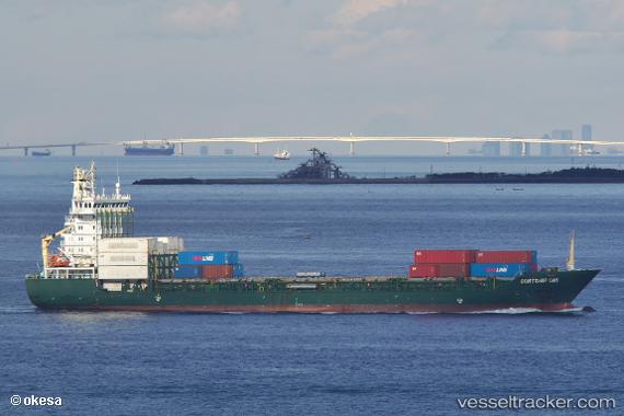
Vessel profile: A SUKAI is a Container Ship with dimensions 133m x 19m.
This page combines live AIS, route history, probable destination signals, nearby traffic, and port activity for practical vessel monitoring.
The current position of vessel A SUKAI is 39.51122 lat / 121.40000 lng. Updated: 2026-04-16 06:07:53 UTCNearest reference points:
- 21 nm E of CHANGXINDAO
- Near Dalian
- 30 nm NW of CHANGXINDAO
Currently sailing under the flag of Panama ![]()
A SUKAI built in 2007 year
Deadweight:
8524 tDetails:
Live Vessel A SUKAI Analytics (details, animations, etc.)
Recent AIS points (UTC):
2026-04-16 06:07:53 UTC · 39.51122, 121.40000 · SOG 0 kn · COG 102°2026-04-16 06:07:53 UTC · 39.51122, 121.40000 · SOG 0 kn · COG 102°
2026-04-16 06:07:53 UTC · 39.51122, 121.40000 · SOG 0 kn · COG 102°
2026-04-16 06:07:53 UTC · 39.51122, 121.40000 · SOG 0 kn · COG 102°