 vesseltracker.com
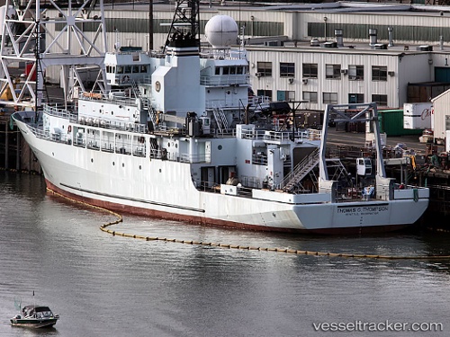
 Thomas G Thompson
Current Status
Where is the vessel?
Thomas G Thompson is currently in Near Suva, based on AIS data received less than 1h ago.
Latest AIS update:
Current position: 18.13146° S, 178.42523° E (Near Suva)
Average speed (last 7 days): Loading…
Average speed (last 30 days): Loading…
Vessel profile: Thomas G Thompson is a Research Vessel with dimensions 83m x 83m.
This page combines live AIS, route history, probable destination signals, nearby traffic, and port activity for practical vessel monitoring.
The current position of vessel Thomas G Thompson is -18.13146 lat / 178.42523 lng. Updated: 2026-04-16 15:43:30 UTCNearest reference points:
- Near Suva
- Near DENARAU
- Near Denarau
Currently sailing under the flag of USA ![]()
Thomas G Thompson built in 1991 year
Details:
Live Vessel Thomas G Thompson Analytics (details, animations, etc.)
Recent AIS points (UTC):
2026-04-16 09:43:33 UTC · -18.13148, 178.42522 · SOG 0 kn · COG 103°2026-04-16 12:10:36 UTC · -18.13148, 178.42522 · SOG 0 kn · COG 103°
2026-04-16 14:13:33 UTC · -18.13149, 178.42523 · SOG 0 kn · COG 104°
2026-04-16 15:43:30 UTC · -18.13146, 178.42523 · SOG 0 kn · COG 104°