 vesseltracker.com
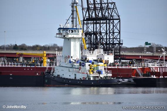
 Cape Henry
Current Status
Where is the vessel?
Cape Henry is currently in Near YONKERS, based on AIS data received less than 1h ago.
Latest AIS update:
Current position: 40.91446° N, 73.92161° W (Near YONKERS)
Average speed (last 7 days): Loading…
Average speed (last 30 days): Loading…
Vessel profile: Cape Henry is a Tug with dimensions 145m x 24m.
This page combines live AIS, route history, probable destination signals, nearby traffic, and port activity for practical vessel monitoring.
The current position of vessel Cape Henry is 40.91446 lat / -73.92161 lng. Updated: 2026-04-14 03:45:37 UTCNearest reference points:
- Near Hoboken
- Near Jersey City
- Near Williamsburg/Brooklyn/New York
Currently sailing under the flag of USA ![]()
Details:
Live Vessel Cape Henry Analytics (details, animations, etc.)
Recent AIS points (UTC):
2026-04-13 22:24:38 UTC · 40.91855, -73.91968 · SOG 0 kn · COG 192°2026-04-14 00:24:41 UTC · 40.91850, -73.91974 · SOG 0.1 kn · COG 186°
2026-04-14 02:03:37 UTC · 40.91792, -73.91936 · SOG 0.3 kn · COG 236°
2026-04-14 03:45:37 UTC · 40.91446, -73.92161 · SOG 0 kn · COG 17°