 vesseltracker.com
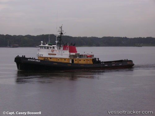
 Adventurer
Current Status
Where is the vessel?
Adventurer is currently in 33 nm N of Puerto Padre, based on AIS data received about 1h ago.
Latest AIS update:
Current position: 21.74167° N, 76.36500° W (33 nm N of Puerto Padre)
Average speed (last 7 days): Loading…
Average speed (last 30 days): Loading…
Vessel profile: Adventurer is a Tug with dimensions 40m x 10m.
This page combines live AIS, route history, probable destination signals, nearby traffic, and port activity for practical vessel monitoring.
The current position of vessel Adventurer is 21.74167 lat / -76.36500 lng. Updated: 2026-03-29 06:14:29 UTCNearest reference points:
- 36 nm E of Cayo Coco
- Near Great Exuma Island
- 16 nm SE of Ceiba Hueca
Currently sailing under the flag of USA ![]()
Adventurer built in 1976 year
Details:
Live Vessel Adventurer Analytics (details, animations, etc.)
Recent AIS points (UTC):
2026-03-28 23:55:39 UTC · 21.37833, -75.33667 · SOG 11 kn · COG -1°2026-03-29 00:37:48 UTC · 21.42333, -75.46667 · SOG 11 kn · COG -1°
2026-03-29 03:29:01 UTC · 21.55667, -75.81667 · SOG 12 kn · COG -1°
2026-03-29 06:14:29 UTC · 21.74167, -76.36500 · SOG 11 kn · COG -1°