 vesseltracker.com
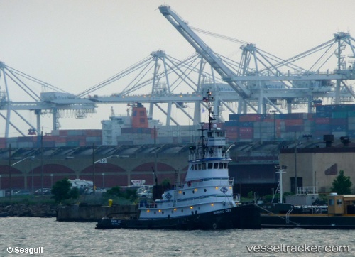
 Bering Sea
Current Status
Where is the vessel?
Bering Sea is currently in Near Mayport, based on AIS data received about 5d ago.
Latest AIS update:
Current position: 30.39833° N, 81.43167° W (Near Mayport)
Average speed (last 7 days): Loading…
Average speed (last 30 days): Loading…
Vessel profile: Bering Sea is a Tug with dimensions 70m x 26m.
This page combines live AIS, route history, probable destination signals, nearby traffic, and port activity for practical vessel monitoring.
The current position of vessel Bering Sea is 30.39833 lat / -81.43167 lng. Updated: 2026-04-04 20:38:06 UTCNearest reference points:
- Near Jacksonville
- Near Ponte Vedra
- Near Fernandina
Currently sailing under the flag of USA ![]()
Bering Sea built in 1975 year
Details:
Live Vessel Bering Sea Analytics (details, animations, etc.)
Recent AIS points (UTC):
2026-04-04 19:55:03 UTC · 30.38569, -81.55999 · SOG 11.9 kn · COG 104°2026-04-04 20:36:04 UTC · 30.39962, -81.43276 · SOG 0.1 kn · COG 225°
2026-04-04 20:38:06 UTC · 30.39833, -81.43167 · SOG 0 kn · COG -1°
2026-04-04 20:38:06 UTC · 30.39833, -81.43167 · SOG 0 kn · COG -1°