 vesseltracker.com
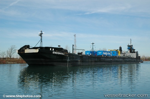
Karen Andrie
Current StatusWhere is the vessel?
Karen Andrie is currently in Near Whiting, based on AIS data received about 1h ago.
Latest AIS update:
Current position: 41.64956° N, 87.46672° W (Near Whiting)
Average speed (last 7 days): Loading…
Average speed (last 30 days): Loading…
Vessel profile: Karen Andrie is a Tug with dimensions 18m x 34m.
This page combines live AIS, route history, probable destination signals, nearby traffic, and port activity for practical vessel monitoring.
The current position of vessel Karen Andrie is 41.64956 lat / -87.46672 lng. Updated: 2026-04-18 16:11:28 UTCNearest reference points:
- Near Burnham
- Near Burns Harbor
- Near WAUKEGAN
Details:
Live Vessel Karen Andrie Analytics (details, animations, etc.)
Recent AIS points (UTC):
2026-04-18 06:22:55 UTC · 41.64958, -87.46671 · SOG 0 kn · COG 225°2026-04-18 12:16:07 UTC · 41.64957, -87.46670 · SOG 0 kn · COG -1°
2026-04-18 13:26:13 UTC · 41.64957, -87.46672 · SOG 0 kn · COG -1°
2026-04-18 16:11:28 UTC · 41.64956, -87.46672 · SOG 0 kn · COG -1°