 vesseltracker.com
 Us Govt Vessel 202
Current Status
Where is the vessel?
Us Govt Vessel 202 is currently in Near GRANDE ISLAND, based on AIS data received about 2h ago.
Latest AIS update:
Current position: 14.81245° N, 120.28883° E (Near GRANDE ISLAND)
Average speed (last 7 days): Loading…
Average speed (last 30 days): Loading…
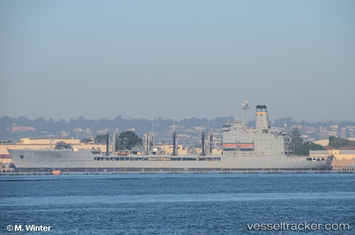
Vessel profile: Us Govt Vessel 202 is a Crude Oil Tanker with dimensions 206m x 30m.
This page combines live AIS, route history, probable destination signals, nearby traffic, and port activity for practical vessel monitoring.
The current position of vessel Us Govt Vessel 202 is 14.81245 lat / 120.28883 lng. Updated: 2026-04-07 03:55:22 UTCNearest reference points:
- 19 nm SW of MARIVELES
- Near Noveleta
- Near Malabon
Currently sailing under the flag of USA ![]()
Us Govt Vessel 202 built in 1994 year
Deadweight:
27813 tDetails:
Live Vessel Us Govt Vessel 202 Analytics (details, animations, etc.)
Recent AIS points (UTC):
2026-04-06 22:07:33 UTC · 14.81245, 120.28882 · SOG 0 kn · COG 269°2026-04-07 00:13:31 UTC · 14.81244, 120.28883 · SOG 0 kn · COG 269°
2026-04-07 02:10:27 UTC · 14.81246, 120.28883 · SOG 0 kn · COG 269°
2026-04-07 03:55:22 UTC · 14.81245, 120.28883 · SOG 0 kn · COG 269°