 vesseltracker.com
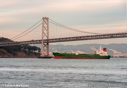
 Golden State
Current Status
Where is the vessel?
Golden State is currently in 97 nm S of Gulfmex Lightering Area, based on AIS data received about 2h ago.
Latest AIS update:
Current position: 26.21265° N, 91.38433° W (97 nm S of Gulfmex Lightering Area)
Average speed (last 7 days): Loading…
Average speed (last 30 days): Loading…
Vessel profile: Golden State is a Chemical Oil Products Tanker with dimensions 183m x 32m.
This page combines live AIS, route history, probable destination signals, nearby traffic, and port activity for practical vessel monitoring.
The current position of vessel Golden State is 26.21265 lat / -91.38433 lng. Updated: 2026-04-12 17:22:47 UTCNearest reference points:
- 94 nm S of Gulfmex Lightering Area
- 124 nm SW of Gulfmex Lightering Area
- 83 nm W of Gulfmex Lightering Area
Currently sailing under the flag of USA ![]()
Golden State built in 2008 year
Deadweight:
48632 tDetails:
Live Vessel Golden State Analytics (details, animations, etc.)
Recent AIS points (UTC):
2026-04-12 09:44:19 UTC · 25.74404, -89.44465 · SOG 14.5 kn · COG 285°2026-04-12 13:33:31 UTC · 25.98138, -90.42305 · SOG 14.1 kn · COG 287°
2026-04-12 16:03:49 UTC · 26.13730, -91.05478 · SOG 14 kn · COG 282°
2026-04-12 17:22:47 UTC · 26.21265, -91.38433 · SOG 14 kn · COG 282°