 vesseltracker.com
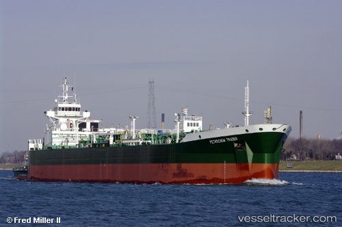
 Brownsville
Current Status
Where is the vessel?
Brownsville is currently in 21 nm W of Florida Straits, based on AIS data received about 4h ago.
Latest AIS update:
Current position: 24.31833° N, 83.36666° W (21 nm W of Florida Straits)
Average speed (last 7 days): Loading…
Average speed (last 30 days): Loading…
Vessel profile: Brownsville is a Pusher Tug with dimensions 184m x 184m.
This page combines live AIS, route history, probable destination signals, nearby traffic, and port activity for practical vessel monitoring.
The current position of vessel Brownsville is 24.31833 lat / -83.36666 lng. Updated: 2026-04-05 11:58:18 UTCNearest reference points:
- 14 nm W of Florida Straits
- 40 nm S of Florida Straits
- Near Mariel
Currently sailing under the flag of USA ![]()
Brownsville built in 2008 year
Deadweight:
1445 tDetails:
Live Vessel Brownsville Analytics (details, animations, etc.)
Recent AIS points (UTC):
2026-04-05 06:25:18 UTC · 24.75500, -84.53833 · SOG 11 kn · COG -1°2026-04-05 08:10:18 UTC · 24.63167, -84.19833 · SOG 11 kn · COG -1°
2026-04-05 10:01:20 UTC · 24.48667, -83.80833 · SOG 12 kn · COG -1°
2026-04-05 11:58:18 UTC · 24.31833, -83.36666 · SOG 14 kn · COG -1°