 vesseltracker.com
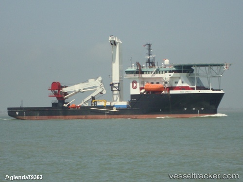
 Ross Candies
Current Status
Where is the vessel?
Ross Candies is currently in 22 nm SW of NANTUCKET, based on AIS data received less than 1h ago.
Latest AIS update:
Current position: 41.02198° N, 70.41423° W (22 nm SW of NANTUCKET)
Average speed (last 7 days): Loading…
Average speed (last 30 days): Loading…
Vessel profile: Ross Candies is a Offshore Tug Supply Ship with dimensions 95m x 95m.
This page combines live AIS, route history, probable destination signals, nearby traffic, and port activity for practical vessel monitoring.
The current position of vessel Ross Candies is 41.02198 lat / -70.41423 lng. Updated: 2026-04-16 14:26:38 UTCNearest reference points:
- 19 nm S of Chilmark
- Near VINEYARD HAVEN
- Near South Yarmouth
Currently sailing under the flag of USA ![]()
Ross Candies built in 2009 year
Deadweight:
4000 tDetails:
Live Vessel Ross Candies Analytics (details, animations, etc.)
Recent AIS points (UTC):
2026-04-16 08:00:27 UTC · 41.06876, -70.43647 · SOG 2 kn · COG 296°2026-04-16 10:16:37 UTC · 41.02029, -70.50466 · SOG 0.7 kn · COG 340°
2026-04-16 11:26:38 UTC · 41.03743, -70.46136 · SOG 0 kn · COG 340°
2026-04-16 14:26:38 UTC · 41.02198, -70.41423 · SOG 0.1 kn · COG 11°