 vesseltracker.com
Islandwind
Current StatusWhere is the vessel?
Islandwind is currently in 44 nm W of Afognak, based on AIS data received less than 1h ago.
Latest AIS update:
Current position: 58.16047° N, 154.12982° W (44 nm W of Afognak)
Average speed (last 7 days): Loading…
Average speed (last 30 days): Loading…
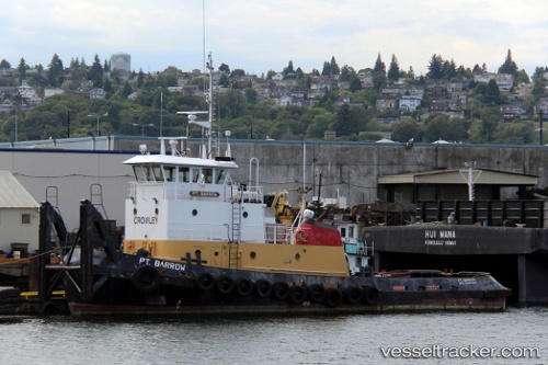
Vessel profile: Islandwind is a Tug with dimensions 20m x 32m.
This page combines live AIS, route history, probable destination signals, nearby traffic, and port activity for practical vessel monitoring.
The current position of vessel Islandwind is 58.16047 lat / -154.12982 lng. Updated: 2026-04-21 00:04:09 UTCNearest reference points:
- Near Kodiak
Details:
Live Vessel Islandwind Analytics (details, animations, etc.)
Recent AIS points (UTC):
2026-04-20 19:48:37 UTC · 58.41833, -153.79666 · SOG 4.6 kn · COG 222°2026-04-20 22:13:02 UTC · 58.26980, -153.97723 · SOG 4.4 kn · COG 211°
2026-04-20 22:21:01 UTC · 58.26132, -153.98424 · SOG 2.7 kn · COG 217°
2026-04-21 00:04:09 UTC · 58.16047, -154.12982 · SOG 3.8 kn · COG 219°