 vesseltracker.com
Finn Falgout
Current StatusWhere is the vessel?
Finn Falgout is currently in Near FOURCHON, based on AIS data received less than 1h ago.
Latest AIS update:
Current position: 29.14167° N, 90.19667° W (Near FOURCHON)
Average speed (last 7 days): Loading…
Average speed (last 30 days): Loading…
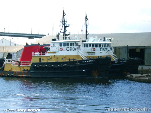
Vessel profile: Finn Falgout is a [tug.offshore_tug_supply] with dimensions 12m x 45m.
This page combines live AIS, route history, probable destination signals, nearby traffic, and port activity for practical vessel monitoring.
The current position of vessel Finn Falgout is 29.14167 lat / -90.19667 lng. Updated: 2026-04-22 10:24:05 UTCNearest reference points:
- Near FOURCHON
- Near Port Fourchon
- Near Pointe a la Hache
Details:
Live Vessel Finn Falgout Analytics (details, animations, etc.)
Recent AIS points (UTC):
2026-04-22 07:48:44 UTC · 29.14182, -90.19691 · SOG 0 kn · COG -1°2026-04-22 08:24:05 UTC · 29.14167, -90.19667 · SOG 0 kn · COG -1°
2026-04-22 09:33:03 UTC · 29.14167, -90.19667 · SOG 0 kn · COG -1°
2026-04-22 10:24:05 UTC · 29.14167, -90.19667 · SOG 0 kn · COG -1°