 vesseltracker.com
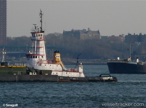
 Marie H
Current Status
Where is the vessel?
Marie H is currently in Near Sweeper Cove, based on AIS data received less than 1h ago.
Latest AIS update:
Current position: 51.86088° N, 176.63824° W (Near Sweeper Cove)
Average speed (last 7 days): Loading…
Average speed (last 30 days): Loading…
Vessel profile: Marie H is a Tug with dimensions 38m x 10m.
This page combines live AIS, route history, probable destination signals, nearby traffic, and port activity for practical vessel monitoring.
The current position of vessel Marie H is 51.86088 lat / -176.63824 lng. Updated: 2026-04-19 16:22:14 UTCCurrently sailing under the flag of USA ![]()
Marie H built in 1978 year
Details:
Live Vessel Marie H Analytics (details, animations, etc.)
Recent AIS points (UTC):
2026-04-19 12:48:37 UTC · 51.86105, -176.63831 · SOG 0 kn · COG 356°2026-04-19 13:45:35 UTC · 51.86105, -176.63828 · SOG 0 kn · COG 357°
2026-04-19 16:12:36 UTC · 51.86099, -176.63828 · SOG 0 kn · COG 356°
2026-04-19 16:22:14 UTC · 51.86088, -176.63824 · SOG 0 kn · COG -1°