 vesseltracker.com
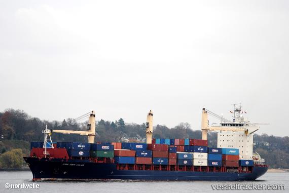
 Sagamore
Current Status
Where is the vessel?
Sagamore is currently in 22 nm N of HANSTHOLM, based on AIS data received about 86d ago.
Latest AIS update:
Current position: 57.48820° N, 8.60461° E (22 nm N of HANSTHOLM)
Average speed (last 7 days): Loading…
Average speed (last 30 days): Loading…
Vessel profile: Sagamore is a Container Ship with dimensions 184m x 26m.
This page combines live AIS, route history, probable destination signals, nearby traffic, and port activity for practical vessel monitoring.
The current position of vessel Sagamore is 57.48820 lat / 8.60461 lng. Updated: 2026-01-21 20:28:30 UTCNearest reference points:
- 27 nm N of HANSTHOLM
- Near HANSTHOLM
- 28 nm NW of Lokken
Currently sailing under the flag of USA ![]()
Sagamore built in 2008 year
Deadweight:
22749 tDetails:
Live Vessel Sagamore Analytics (details, animations, etc.)
Recent AIS points (UTC):
2026-01-21 20:28:30 UTC · 57.48820, 8.60461 · SOG 15.4 kn · COG 234°