 vesseltracker.com
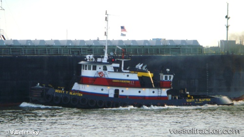
 THEO C
Current Status
Where is the vessel?
THEO C is currently in Near AMELIA, based on AIS data received about 1h ago.
Latest AIS update:
Current position: 29.67167° N, 91.13500° W (Near AMELIA)
Average speed (last 7 days): Loading…
Average speed (last 30 days): Loading…
Vessel profile: THEO C is a Tug with dimensions m x m.
This page combines live AIS, route history, probable destination signals, nearby traffic, and port activity for practical vessel monitoring.
The current position of vessel THEO C is 29.67167 lat / -91.13500 lng. Updated: 2026-04-14 03:29:07 UTCNearest reference points:
- Near Amelia
- Near HOUMA
- Near Port Of South Louisiana
Currently sailing under the flag of United States ![]()
Details:
Live Vessel THEO C Analytics (details, animations, etc.)
Recent AIS points (UTC):
2026-04-13 21:21:28 UTC · 29.67201, -91.13497 · SOG 0 kn · COG -1°2026-04-13 23:57:26 UTC · 29.67203, -91.13497 · SOG 0 kn · COG -1°
2026-04-14 01:56:04 UTC · 29.67167, -91.13500 · SOG 0 kn · COG -1°
2026-04-14 03:29:07 UTC · 29.67167, -91.13500 · SOG 0 kn · COG -1°