 vesseltracker.com
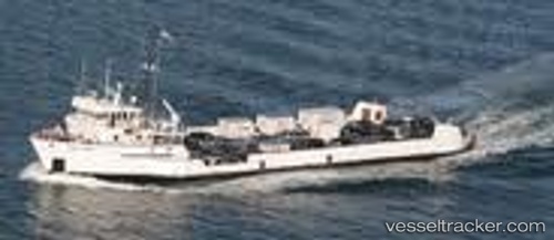
 TUCKERNUCK
Current Status
Where is the vessel?
TUCKERNUCK is currently in Near Carrefour, based on AIS data received about 12h ago.
Latest AIS update:
Current position: 18.54757° N, 72.38443° W (Near Carrefour)
Average speed (last 7 days): Loading…
Average speed (last 30 days): Loading…
Vessel profile: TUCKERNUCK is a Multi Purpose Offshore Vessel with dimensions m x m.
This page combines live AIS, route history, probable destination signals, nearby traffic, and port activity for practical vessel monitoring.
The current position of vessel TUCKERNUCK is 18.54757 lat / -72.38443 lng. Updated: 2026-04-10 07:38:27 UTCNearest reference points:
- Near Bahia De Las Calderas
- Near Puerto Plata
- 56 nm SW of Cockburn Harbour
Currently sailing under the flag of United States ![]()
Details:
Live Vessel TUCKERNUCK Analytics (details, animations, etc.)
Recent AIS points (UTC):
2026-04-10 02:20:53 UTC · 18.54667, -72.38333 · SOG 0 kn · COG -1°2026-04-10 04:17:54 UTC · 18.54667, -72.38333 · SOG 0 kn · COG -1°
2026-04-10 06:26:27 UTC · 18.54755, -72.38454 · SOG 0 kn · COG 41°
2026-04-10 07:38:27 UTC · 18.54757, -72.38443 · SOG 0 kn · COG 67°