 vesseltracker.com
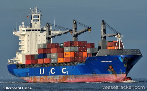
Maersk Durban
Current StatusWhere is the vessel?
Maersk Durban is currently in 15 nm SE of Estepona, based on AIS data received about 1h ago.
Latest AIS update:
Current position: 36.22749° N, 4.95869° W (15 nm SE of Estepona)
Average speed (last 7 days): Loading…
Average speed (last 30 days): Loading…
Vessel profile: Maersk Durban is a Container Ship with dimensions 30m x 208m.
This page combines live AIS, route history, probable destination signals, nearby traffic, and port activity for practical vessel monitoring.
The current position of vessel Maersk Durban is 36.22749 lat / -4.95869 lng. Updated: 2026-04-01 13:30:21 UTCNearest reference points:
- Near Nueva Andalucia
- Near Sotogrande
- 30 nm E of Ceuta
Details:
Live Vessel Maersk Durban Analytics (details, animations, etc.)
Recent AIS points (UTC):
2026-04-01 07:34:30 UTC · 36.20424, -4.86985 · SOG 1 kn · COG 144°2026-04-01 10:32:12 UTC · 36.21330, -4.90263 · SOG 1.3 kn · COG 149°
2026-04-01 11:24:20 UTC · 36.22046, -4.93452 · SOG 2.5 kn · COG 359°
2026-04-01 13:30:21 UTC · 36.22749, -4.95869 · SOG 1.3 kn · COG 7°