 vesseltracker.com
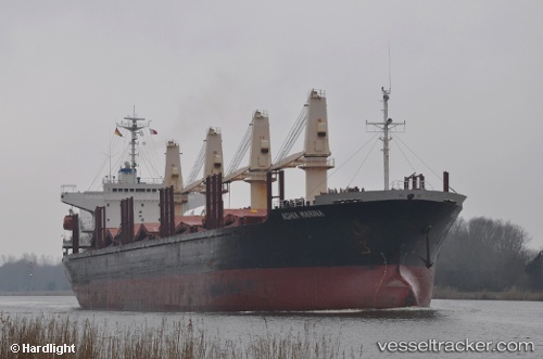
Worship Light
Current StatusWhere is the vessel?
Worship Light is currently in Open sea (no nearby ports in database), based on AIS data received less than 1h ago.
Latest AIS update:
Current position: 17.32335° N, 135.52864° E (Open sea (no nearby ports in database))
Average speed (last 7 days): Loading…
Average speed (last 30 days): Loading…
Vessel profile: Worship Light is a Bulk Carrier with dimensions 27m x 171m.
This page combines live AIS, route history, probable destination signals, nearby traffic, and port activity for practical vessel monitoring.
The current position of vessel Worship Light is 17.32335 lat / 135.52864 lng. Updated: 2026-04-06 01:23:25 UTCNearest reference points:
- Open sea (no nearby ports in database)
Details:
Live Vessel Worship Light Analytics (details, animations, etc.)
Recent AIS points (UTC):
2026-04-05 14:00:39 UTC · 18.48783, 134.34242 · SOG 7.6 kn · COG 128°2026-04-05 21:49:56 UTC · 17.70106, 135.14134 · SOG 9.2 kn · COG 132°
2026-04-06 00:00:51 UTC · 17.46406, 135.38367 · SOG 9 kn · COG 137°
2026-04-06 01:23:25 UTC · 17.32335, 135.52864 · SOG 8.4 kn · COG 135°