 vesseltracker.com
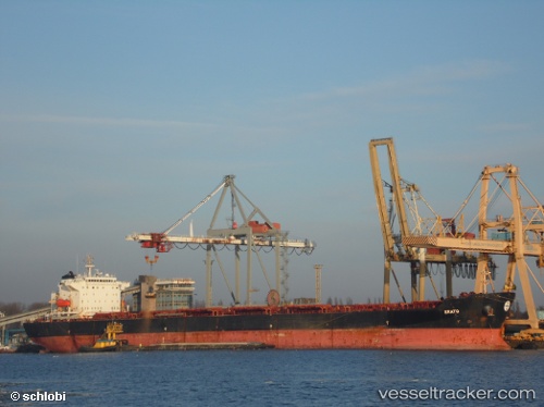
 Kamares
Current Status
Where is the vessel?
Kamares is currently in Near TANJUNG PEMANCINGAN, based on AIS data received less than 1h ago.
Latest AIS update:
Current position: 3.17855° S, 116.38848° E (Near TANJUNG PEMANCINGAN)
Average speed (last 7 days): Loading…
Average speed (last 30 days): Loading…
Vessel profile: Kamares is a Bulk Carrier with dimensions 225m x 225m.
This page combines live AIS, route history, probable destination signals, nearby traffic, and port activity for practical vessel monitoring.
The current position of vessel Kamares is -3.17855 lat / 116.38848 lng. Updated: 2026-04-13 09:54:16 UTCNearest reference points:
- Near TANJUNG PEMANCINGAN
- 57 nm NE of TANJUNG PEMANCINGAN
- 12 nm SE of Bunati
Currently sailing under the flag of Panama ![]()
Kamares built in 2004 year
Deadweight:
74444 tDetails:
Live Vessel Kamares Analytics (details, animations, etc.)
Recent AIS points (UTC):
2026-04-13 04:21:15 UTC · -3.17833, 116.38833 · SOG 0 kn · COG -1°2026-04-13 05:30:14 UTC · -3.17792, 116.38901 · SOG 0 kn · COG 125°
2026-04-13 07:21:19 UTC · -3.17667, 116.38833 · SOG 0 kn · COG -1°
2026-04-13 09:54:16 UTC · -3.17855, 116.38848 · SOG 0 kn · COG 109°