 vesseltracker.com
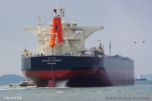
Pacific Power
Current StatusWhere is the vessel?
Pacific Power is currently in 53 nm NW of Krueng Geukueh, based on AIS data received less than 1h ago.
Latest AIS update:
Current position: 5.88469° N, 96.41462° E (53 nm NW of Krueng Geukueh)
Average speed (last 7 days): Loading…
Average speed (last 30 days): Loading…
Vessel profile: Pacific Power is a Bulk Carrier with dimensions 43m x 245m.
This page combines live AIS, route history, probable destination signals, nearby traffic, and port activity for practical vessel monitoring.
The current position of vessel Pacific Power is 5.88469 lat / 96.41462 lng. Updated: 2026-04-19 17:25:49 UTCNearest reference points:
- 45 nm NE of Krueng Geukueh
- 21 nm N of Sebang
- 53 nm NE of Sebang
Details:
Live Vessel Pacific Power Analytics (details, animations, etc.)
Recent AIS points (UTC):
2026-04-19 13:36:32 UTC · 6.10037, 95.73864 · SOG 10.8 kn · COG 106°2026-04-19 15:54:54 UTC · 5.97209, 96.14255 · SOG 10.9 kn · COG 108°
2026-04-19 16:49:53 UTC · 5.91584, 96.30558 · SOG 12 kn · COG 105°
2026-04-19 17:25:49 UTC · 5.88469, 96.41462 · SOG 11.8 kn · COG -1°