 vesseltracker.com
 SANTARLI
Current Status
Where is the vessel?
SANTARLI is currently in 43 nm W of Iba, based on AIS data received less than 1h ago.
Latest AIS update:
Current position: 15.46640° N, 119.23809° E (43 nm W of Iba)
Average speed (last 7 days): Loading…
Average speed (last 30 days): Loading…
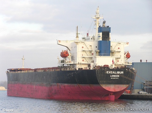
Vessel profile: SANTARLI is a Bulk Carrier with dimensions 32m x 225m.
This page combines live AIS, route history, probable destination signals, nearby traffic, and port activity for practical vessel monitoring.
The current position of vessel SANTARLI is 15.46640 lat / 119.23809 lng. Updated: 2026-04-20 22:08:37 UTCNearest reference points:
- 34 nm W of Iba
- 19 nm SW of MARIVELES
- Near Malabon
Currently sailing under the flag of Panama ![]()
SANTARLI built in 1999 year
Deadweight:
73976 tDetails:
Live Vessel SANTARLI Analytics (details, animations, etc.)
Recent AIS points (UTC):
2026-04-20 19:07:41 UTC · 15.98968, 119.05601 · SOG 10.9 kn · COG -1°2026-04-20 19:57:48 UTC · 15.84502, 119.10409 · SOG 10.7 kn · COG -1°
2026-04-20 22:01:08 UTC · 15.48859, 119.23045 · SOG 11.1 kn · COG 165°
2026-04-20 22:08:37 UTC · 15.46640, 119.23809 · SOG 11.2 kn · COG 165°