 vesseltracker.com
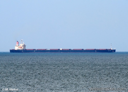
 Elettra
Current Status
Where is the vessel?
Elettra is currently in Near GLADSTONE, based on AIS data received less than 1h ago.
Latest AIS update:
Current position: 23.80570° S, 151.21709° E (Near GLADSTONE)
Average speed (last 7 days): Loading…
Average speed (last 30 days): Loading…
Vessel profile: Elettra is a Bulk Carrier with dimensions 254m x 44m.
This page combines live AIS, route history, probable destination signals, nearby traffic, and port activity for practical vessel monitoring.
The current position of vessel Elettra is -23.80570 lat / 151.21709 lng. Updated: 2026-04-13 04:00:14 UTCNearest reference points:
- Near Gladstone Harbor
- Near Boyne Island
- Near ROSSLYN
Currently sailing under the flag of Panama ![]()
Elettra built in 2009 year
Deadweight:
106355 tDetails:
Live Vessel Elettra Analytics (details, animations, etc.)
Recent AIS points (UTC):
2026-04-12 22:03:14 UTC · -23.80571, 151.21707 · SOG 0 kn · COG 110°2026-04-12 23:51:14 UTC · -23.80569, 151.21712 · SOG 0 kn · COG 110°
2026-04-13 01:42:14 UTC · -23.80571, 151.21712 · SOG 0 kn · COG 110°
2026-04-13 04:00:14 UTC · -23.80570, 151.21709 · SOG 0 kn · COG 110°