 vesseltracker.com
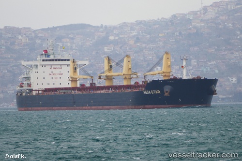
Eships Dugon
Current StatusWhere is the vessel?
Eships Dugon is currently in 49 nm SE of 'Adan, based on AIS data received about 1h ago.
Latest AIS update:
Current position: 12.13500° N, 45.55667° E (49 nm SE of 'Adan)
Average speed (last 7 days): Loading…
Average speed (last 30 days): Loading…
Vessel profile: Eships Dugon is a Bulk Carrier with dimensions 32m x 228m.
This page combines live AIS, route history, probable destination signals, nearby traffic, and port activity for practical vessel monitoring.
The current position of vessel Eships Dugon is 12.13500 lat / 45.55667 lng. Updated: 2026-04-13 05:37:08 UTCNearest reference points:
- Near Djibouti
Details:
Live Vessel Eships Dugon Analytics (details, animations, etc.)
Recent AIS points (UTC):
2026-04-13 00:19:11 UTC · 12.45500, 46.56667 · SOG 11 kn · COG -1°2026-04-13 01:22:10 UTC · 12.39500, 46.37500 · SOG 11 kn · COG -1°
2026-04-13 03:49:32 UTC · 12.24481, 45.91320 · SOG 11.9 kn · COG 253°
2026-04-13 05:37:08 UTC · 12.13500, 45.55667 · SOG 12 kn · COG -1°