 vesseltracker.com
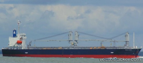
 MAHO CORAL
Current Status
Where is the vessel?
MAHO CORAL is currently in 19 nm NW of Tatoosh Island, based on AIS data received about 2h ago.
Latest AIS update:
Current position: 48.53066° N, 125.15787° W (19 nm NW of Tatoosh Island)
Average speed (last 7 days): Loading…
Average speed (last 30 days): Loading…
Vessel profile: MAHO CORAL is a General Cargo Ship with dimensions 127m x 19m.
This page combines live AIS, route history, probable destination signals, nearby traffic, and port activity for practical vessel monitoring.
The current position of vessel MAHO CORAL is 48.53066 lat / -125.15787 lng. Updated: 2026-03-29 07:53:04 UTCNearest reference points:
- 21 nm NW of Tatoosh Island
- Near Clallam Bay
- Near Nanaimo
Currently sailing under the flag of Panama ![]()
MAHO CORAL built in 2016 year
Deadweight:
14268 tDetails:
Live Vessel MAHO CORAL Analytics (details, animations, etc.)
Recent AIS points (UTC):
2026-03-29 00:47:23 UTC · 48.19613, -123.41693 · SOG 12.2 kn · COG 319°2026-03-29 04:21:53 UTC · 48.35970, -124.18454 · SOG 12.3 kn · COG 294°
2026-03-29 05:37:13 UTC · 48.45529, -124.52998 · SOG 11.8 kn · COG 292°
2026-03-29 07:53:04 UTC · 48.53066, -125.15787 · SOG 11.3 kn · COG 268°