 vesseltracker.com
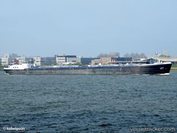
 VENRAY
Current Status
Where is the vessel?
VENRAY is currently in Near TABOGA, based on AIS data received about 5h ago.
Latest AIS update:
Current position: 8.82301° N, 79.53171° W (Near TABOGA)
Average speed (last 7 days): Loading…
Average speed (last 30 days): Loading…
Vessel profile: VENRAY is a Inland Tanker with dimensions m x m.
This page combines live AIS, route history, probable destination signals, nearby traffic, and port activity for practical vessel monitoring.
The current position of vessel VENRAY is 8.82301 lat / -79.53171 lng. Updated: 2026-04-10 07:45:41 UTCNearest reference points:
- Near Panama
- Near Melones
- Near El Chorrillo
Currently sailing under the flag of Panama ![]()
Details:
Live Vessel VENRAY Analytics (details, animations, etc.)
Recent AIS points (UTC):
2026-04-10 02:18:13 UTC · 8.78499, -79.59007 · SOG 0.1 kn · COG 349°2026-04-10 04:17:40 UTC · 8.78497, -79.59052 · SOG 0.1 kn · COG 8°
2026-04-10 06:25:39 UTC · 8.81448, -79.55593 · SOG 0 kn · COG 53°
2026-04-10 07:45:41 UTC · 8.82301, -79.53171 · SOG 0.5 kn · COG 198°