 vesseltracker.com
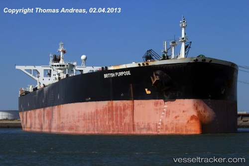
 FREYA
FREYA
Current Status
Where is the vessel?
FREYA is currently in 275 nm S of Diego Garcia, based on AIS data received about 362d ago.
Latest AIS update:
Current position: 11.74087° S, 71.27190° E (275 nm S of Diego Garcia)
Average speed (last 7 days): Loading…
Average speed (last 30 days): Loading…
Vessel profile: FREYA is a Crude Oil Tanker with dimensions 58m x 335m.
This page combines live AIS, route history, probable destination signals, nearby traffic, and port activity for practical vessel monitoring.
The current position of vessel FREYA is -11.74087 lat / 71.27190 lng. Updated: 2025-03-31 22:42:09 UTCNearest reference points:
- 263 nm S of Diego Garcia
- Open sea, approx. 400 nm off the nearest listed port
- Open sea, approx. 402 nm off the nearest listed port
Currently sailing under the flag of Panama ![]()
FREYA built in 2000 year
Deadweight:
306307 tDetails:
Live Vessel FREYA Analytics (details, animations, etc.)
Recent AIS points (UTC):
2025-03-31 22:42:09 UTC · -11.74087, 71.27190 · SOG 8.7 kn · COG -1°