 vesseltracker.com
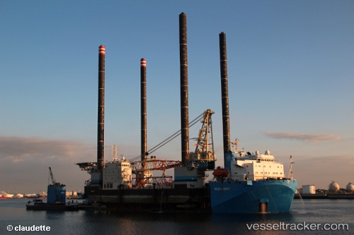
 Wish Way
Current Status
Where is the vessel?
Wish Way is currently in Near Cai Mep, based on AIS data received about 1h ago.
Latest AIS update:
Current position: 10.38474° N, 107.04734° E (Near Cai Mep)
Average speed (last 7 days): Loading…
Average speed (last 30 days): Loading…
Vessel profile: Wish Way is a Heavy Load Carrier with dimensions 156m x 36m.
This page combines live AIS, route history, probable destination signals, nearby traffic, and port activity for practical vessel monitoring.
The current position of vessel Wish Way is 10.38474 lat / 107.04734 lng. Updated: 2026-04-13 09:52:52 UTCNearest reference points:
- Near Cai Mep
- Near Cape Saint Jacques
- Near Cape St. Jacques
Currently sailing under the flag of Panama ![]()
Wish Way built in 2010 year
Deadweight:
21243 tDetails:
Live Vessel Wish Way Analytics (details, animations, etc.)
Recent AIS points (UTC):
2026-04-13 04:22:52 UTC · 10.38542, 107.04748 · SOG 0 kn · COG 187°2026-04-13 05:31:52 UTC · 10.38539, 107.04753 · SOG 0.1 kn · COG 171°
2026-04-13 07:19:52 UTC · 10.38488, 107.04738 · SOG 0.3 kn · COG 5°
2026-04-13 09:52:52 UTC · 10.38474, 107.04734 · SOG 0.1 kn · COG 19°