 vesseltracker.com
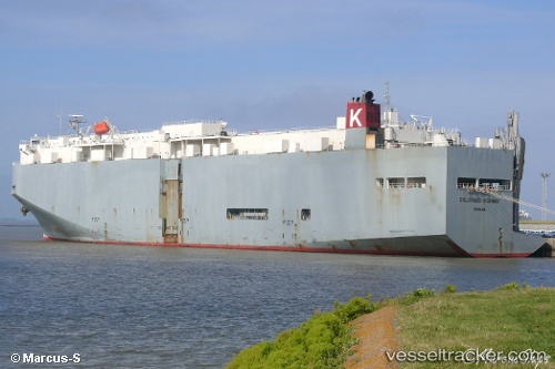
Colorado Highway
Current StatusWhere is the vessel?
Colorado Highway is currently in 29 nm E of Geomundo, based on AIS data received less than 1h ago.
Latest AIS update:
Current position: 34.00813° N, 127.88467° E (29 nm E of Geomundo)
Average speed (last 7 days): Loading…
Average speed (last 30 days): Loading…
Vessel profile: Colorado Highway is a Vehicles Carrier with dimensions 31m x 183m.
This page combines live AIS, route history, probable destination signals, nearby traffic, and port activity for practical vessel monitoring.
The current position of vessel Colorado Highway is 34.00813 lat / 127.88467 lng. Updated: 2026-04-20 12:11:00 UTCNearest reference points:
- 35 nm E of Geomundo
- 12 nm E of Geomundo
- 25 nm S of Kukdo
Details:
Live Vessel Colorado Highway Analytics (details, animations, etc.)
Recent AIS points (UTC):
2026-04-20 08:14:00 UTC · 34.00940, 127.88332 · SOG 0.6 kn · COG 250°2026-04-20 09:26:00 UTC · 34.00932, 127.88320 · SOG 0.3 kn · COG 282°
2026-04-20 10:11:00 UTC · 34.00868, 127.88280 · SOG 0.4 kn · COG 288°
2026-04-20 12:11:00 UTC · 34.00813, 127.88467 · SOG 0.7 kn · COG 258°