 vesseltracker.com
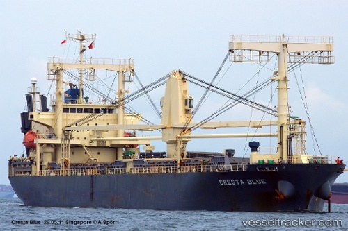
Cresta Blue
Current StatusWhere is the vessel?
Cresta Blue is currently in 21 nm S of Balabac, Palawan, based on AIS data received about 1h ago.
Latest AIS update:
Current position: 7.64167° N, 116.92667° E (21 nm S of Balabac, Palawan)
Average speed (last 7 days): Loading…
Average speed (last 30 days): Loading…
Vessel profile: Cresta Blue is a General Cargo Ship with dimensions 20m x 125m.
This page combines live AIS, route history, probable destination signals, nearby traffic, and port activity for practical vessel monitoring.
The current position of vessel Cresta Blue is 7.64167 lat / 116.92667 lng. Updated: 2026-04-22 17:27:53 UTCNearest reference points:
- 35 nm SE of Brookes Point, Palawan
- Near Kota Kinabalu
- 44 nm SW of Tembungo
Details:
Live Vessel Cresta Blue Analytics (details, animations, etc.)
Recent AIS points (UTC):
2026-04-22 14:06:54 UTC · 7.36500, 116.40167 · SOG 10 kn · COG -1°2026-04-22 15:36:57 UTC · 7.48333, 116.64500 · SOG 9 kn · COG -1°
2026-04-22 16:51:51 UTC · 7.57333, 116.84333 · SOG 10 kn · COG -1°
2026-04-22 17:27:53 UTC · 7.64167, 116.92667 · SOG 10 kn · COG -1°