 vesseltracker.com
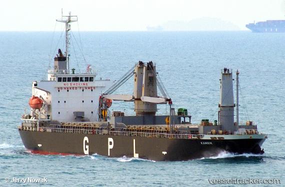
 Kamnik
Current Status
Where is the vessel?
Kamnik is currently in 39 nm N of PA-TOU-TZU, based on AIS data received about 15h ago.
Latest AIS update:
Current position: 25.78968° N, 121.82003° E (39 nm N of PA-TOU-TZU)
Average speed (last 7 days): Loading…
Average speed (last 30 days): Loading…
Vessel profile: Kamnik is a General Cargo Ship with dimensions 128m x 20m.
This page combines live AIS, route history, probable destination signals, nearby traffic, and port activity for practical vessel monitoring.
The current position of vessel Kamnik is 25.78968 lat / 121.82003 lng. Updated: 2026-04-10 08:29:36 UTCNearest reference points:
- Near PA-TOU-TZU
- 11 nm N of Nangang
- Near SHEN AO
Currently sailing under the flag of Panama ![]()
Details:
Live Vessel Kamnik Analytics (details, animations, etc.)
Recent AIS points (UTC):
2026-04-10 01:48:49 UTC · 25.10049, 120.28739 · SOG 14.7 kn · COG 65°2026-04-10 03:56:05 UTC · 25.32451, 120.79092 · SOG 14.1 kn · COG 67°
2026-04-10 05:42:26 UTC · 25.50202, 121.19452 · SOG 13.8 kn · COG 71°
2026-04-10 08:29:36 UTC · 25.78968, 121.82003 · SOG 13.3 kn · COG 51°