 vesseltracker.com
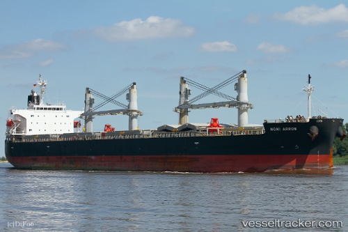
Momi Arrow
Current StatusWhere is the vessel?
Momi Arrow is currently in Near Bayuquan, based on AIS data received less than 1h ago.
Latest AIS update:
Current position: 40.24712° N, 122.08713° E (Near Bayuquan)
Average speed (last 7 days): Loading…
Average speed (last 30 days): Loading…
Vessel profile: Momi Arrow is a General Cargo Ship with dimensions 32m x 190m.
This page combines live AIS, route history, probable destination signals, nearby traffic, and port activity for practical vessel monitoring.
The current position of vessel Momi Arrow is 40.24712 lat / 122.08713 lng. Updated: 2026-04-19 21:35:59 UTCNearest reference points:
- Near Bayuquan
- 15 nm W of Bayuquan
- 17 nm SW of PANJIN
Details:
Live Vessel Momi Arrow Analytics (details, animations, etc.)
Recent AIS points (UTC):
2026-04-19 17:57:00 UTC · 40.24712, 122.08717 · SOG 0 kn · COG 269°2026-04-19 19:20:53 UTC · 40.24712, 122.08717 · SOG 0 kn · COG 269°
2026-04-19 19:30:00 UTC · 40.24713, 122.08715 · SOG 0.2 kn · COG 269°
2026-04-19 21:35:59 UTC · 40.24712, 122.08713 · SOG 0.1 kn · COG 269°