 vesseltracker.com
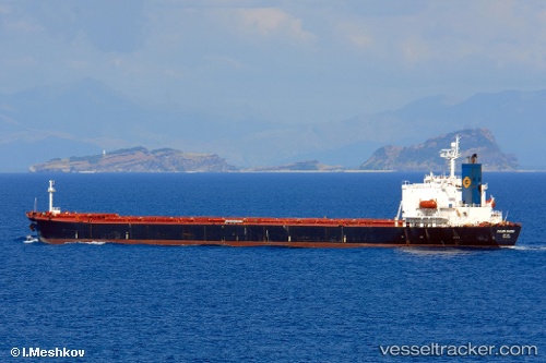
Den Sha
Current StatusWhere is the vessel?
Den Sha is currently in 15 nm S of HANKO, based on AIS data received less than 1h ago.
Latest AIS update:
Current position: 59.58820° N, 23.12729° E (15 nm S of HANKO)
Average speed (last 7 days): Loading…
Average speed (last 30 days): Loading…
Vessel profile: Den Sha is a Bulk Carrier with dimensions 32m x 225m.
This page combines live AIS, route history, probable destination signals, nearby traffic, and port activity for practical vessel monitoring.
The current position of vessel Den Sha is 59.58820 lat / 23.12729 lng. Updated: 2026-03-29 09:45:37 UTCNearest reference points:
- Near Tvärminne
- Near Hango
- Near Mahu Sadam
Details:
Live Vessel Den Sha Analytics (details, animations, etc.)
Recent AIS points (UTC):
2026-03-29 04:08:03 UTC · 59.84036, 24.91651 · SOG 10 kn · COG 261°2026-03-29 05:34:24 UTC · 59.77576, 24.45396 · SOG 10.2 kn · COG 257°
2026-03-29 08:00:23 UTC · 59.66754, 23.67811 · SOG 10.1 kn · COG 256°
2026-03-29 09:45:37 UTC · 59.58820, 23.12729 · SOG 10.2 kn · COG 257°