 vesseltracker.com
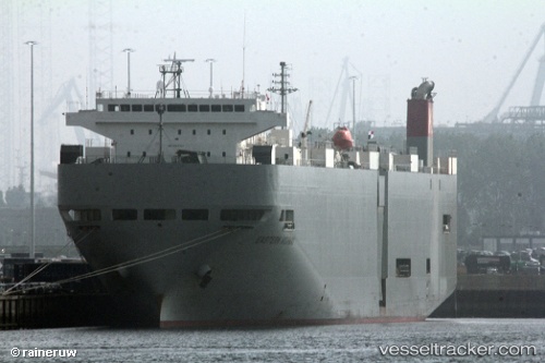
Western Highway
Current StatusWhere is the vessel?
Western Highway is currently in 252 nm N of Primorsky Krai, based on AIS data received about 1h ago.
Latest AIS update:
Current position: 49.29008° N, 137.33282° W (252 nm N of Primorsky Krai)
Average speed (last 7 days): Loading…
Average speed (last 30 days): Loading…
Vessel profile: Western Highway is a Vehicles Carrier with dimensions 28m x 188m.
This page combines live AIS, route history, probable destination signals, nearby traffic, and port activity for practical vessel monitoring.
The current position of vessel Western Highway is 49.29008 lat / -137.33282 lng. Updated: 2026-03-31 17:56:55 UTCDetails:
Live Vessel Western Highway Analytics (details, animations, etc.)
Recent AIS points (UTC):
2026-03-31 12:09:02 UTC · 48.69585, -135.65637 · SOG 13.6 kn · COG 292°2026-03-31 13:57:05 UTC · 48.87539, -136.17047 · SOG 13.5 kn · COG 294°
2026-03-31 15:58:44 UTC · 49.08064, -136.75803 · SOG 13.7 kn · COG 295°
2026-03-31 17:56:55 UTC · 49.29008, -137.33282 · SOG 13.4 kn · COG 298°