 vesseltracker.com
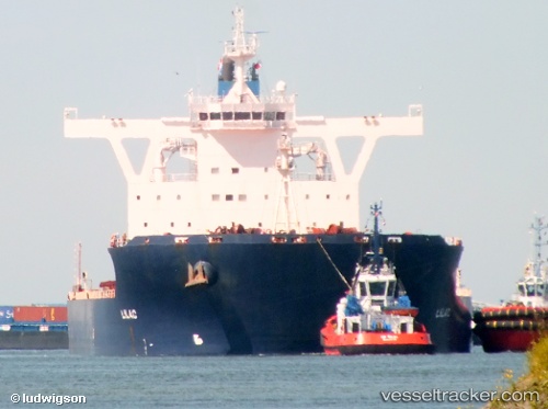
Cape Providence
Current StatusWhere is the vessel?
Cape Providence is currently in 234 nm SE of Deboyne Lagoon, based on AIS data received about 1d ago.
Latest AIS update:
Current position: 12.55523° S, 155.94006° E (234 nm SE of Deboyne Lagoon)
Average speed (last 7 days): Loading…
Average speed (last 30 days): Loading…
Vessel profile: Cape Providence is a Bulk Carrier with dimensions 45m x 292m.
This page combines live AIS, route history, probable destination signals, nearby traffic, and port activity for practical vessel monitoring.
The current position of vessel Cape Providence is -12.55523 lat / 155.94006 lng. Updated: 2026-04-10 07:13:13 UTCDetails:
Live Vessel Cape Providence Analytics (details, animations, etc.)
Recent AIS points (UTC):
2026-04-10 02:34:49 UTC · -11.64833, 156.11166 · SOG 12 kn · COG -1°2026-04-10 03:31:47 UTC · -11.83667, 156.07167 · SOG 12 kn · COG -1°
2026-04-10 06:04:47 UTC · -12.33667, 155.98334 · SOG 11 kn · COG -1°
2026-04-10 07:13:13 UTC · -12.55523, 155.94006 · SOG 11.3 kn · COG 190°