 vesseltracker.com
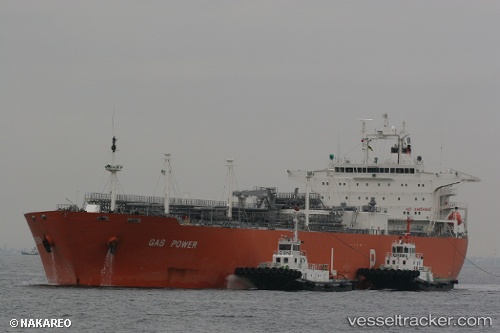
Gas Power
Current StatusWhere is the vessel?
Gas Power is currently in 69 nm NE of Natal, based on AIS data received less than 1h ago.
Latest AIS update:
Current position: 5.06594° S, 34.24963° W (69 nm NE of Natal)
Average speed (last 7 days): Loading…
Average speed (last 30 days): Loading…
Vessel profile: Gas Power is a Lpg Tanker with dimensions 37m x 230m.
This page combines live AIS, route history, probable destination signals, nearby traffic, and port activity for practical vessel monitoring.
The current position of vessel Gas Power is -5.06594 lat / -34.24963 lng. Updated: 2026-04-19 19:25:47 UTCNearest reference points:
- 20 nm E of Natal
Details:
Live Vessel Gas Power Analytics (details, animations, etc.)
Recent AIS points (UTC):
2026-04-19 16:12:11 UTC · -5.55932, -33.59225 · SOG 15 kn · COG 312°2026-04-19 17:52:22 UTC · -5.30495, -33.92980 · SOG 15.3 kn · COG 309°
2026-04-19 19:17:36 UTC · -5.08666, -34.22152 · SOG 15.3 kn · COG 309°
2026-04-19 19:25:47 UTC · -5.06594, -34.24963 · SOG 15.1 kn · COG 309°