 vesseltracker.com
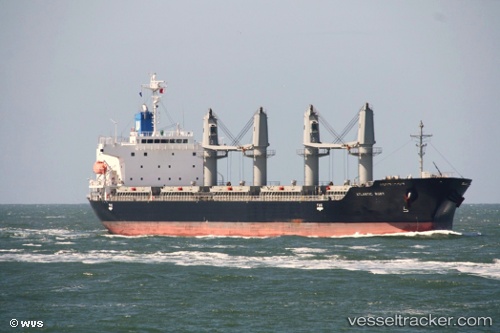
 Atlantic Ruby
Current Status
Where is the vessel?
Atlantic Ruby is currently in 107 nm SW of VASILIKO, based on AIS data received less than 1h ago.
Latest AIS update:
Current position: 36.39267° N, 19.48203° E (107 nm SW of VASILIKO)
Average speed (last 7 days): Loading…
Average speed (last 30 days): Loading…
Vessel profile: Atlantic Ruby is a Bulk Carrier with dimensions 180m x 29m.
This page combines live AIS, route history, probable destination signals, nearby traffic, and port activity for practical vessel monitoring.
The current position of vessel Atlantic Ruby is 36.39267 lat / 19.48203 lng. Updated: 2026-04-08 13:59:51 UTCNearest reference points:
- 103 nm NE of Ryuo
- 71 nm N of Pinelands
- 73 nm N of Pinelands
Currently sailing under the flag of Panama ![]()
Atlantic Ruby built in 2012 year
Deadweight:
33680 tDetails:
Live Vessel Atlantic Ruby Analytics (details, animations, etc.)
Recent AIS points (UTC):
2026-04-08 08:15:31 UTC · 36.38338, 20.76985 · SOG 10.9 kn · COG 272°2026-04-08 10:13:10 UTC · 36.38702, 20.32941 · SOG 10.8 kn · COG 272°
2026-04-08 11:55:06 UTC · 36.39319, 19.95648 · SOG 10.6 kn · COG 274°
2026-04-08 13:59:51 UTC · 36.39267, 19.48203 · SOG 11.3 kn · COG 267°