 vesseltracker.com
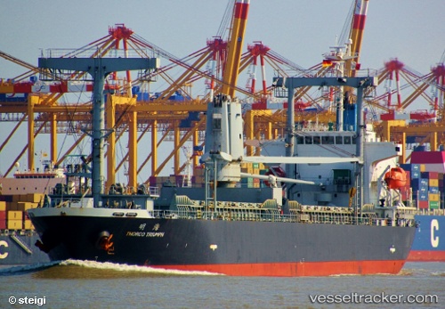
Corebright Ol
Current StatusWhere is the vessel?
Corebright Ol is currently in 134 nm E of KIJANG, based on AIS data received about 2h ago.
Latest AIS update:
Current position: 0.23100° N, 106.75301° E (134 nm E of KIJANG)
Average speed (last 7 days): Loading…
Average speed (last 30 days): Loading…
Vessel profile: Corebright Ol is a Multi Purpose Carrier with dimensions 20m x 127m.
This page combines live AIS, route history, probable destination signals, nearby traffic, and port activity for practical vessel monitoring.
The current position of vessel Corebright Ol is 0.23100 lat / 106.75301 lng. Updated: 2026-04-19 11:56:10 UTCNearest reference points:
- 69 nm NE of Exspan
- 76 nm NE of KIJANG
- Near PANGKAL BALAM
Details:
Live Vessel Corebright Ol Analytics (details, animations, etc.)
Recent AIS points (UTC):
2026-04-19 04:51:03 UTC · -0.84442, 107.69549 · SOG 11.9 kn · COG 318°2026-04-19 04:51:03 UTC · -0.84442, 107.69549 · SOG 11.9 kn · COG 318°
2026-04-19 11:56:10 UTC · 0.23100, 106.75301 · SOG 12.5 kn · COG -1°
2026-04-19 11:56:10 UTC · 0.23100, 106.75301 · SOG 12.5 kn · COG -1°