 vesseltracker.com
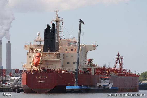
 LUCTOR
Current Status
Where is the vessel?
LUCTOR is currently in 91 nm N of Port Mathurin, based on AIS data received less than 1h ago.
Latest AIS update:
Current position: 18.17148° S, 63.40256° E (91 nm N of Port Mathurin)
Average speed (last 7 days): Loading…
Average speed (last 30 days): Loading…
Vessel profile: LUCTOR is a Oil/Chemical Tanker with dimensions m x m.
This page combines live AIS, route history, probable destination signals, nearby traffic, and port activity for practical vessel monitoring.
The current position of vessel LUCTOR is -18.17148 lat / 63.40256 lng. Updated: 2026-04-18 19:37:30 UTCNearest reference points:
- 106 nm NW of Port Mathurin
- 154 nm NE of Port Mathurin
- 219 nm NW of Port Mathurin
Currently sailing under the flag of Panama ![]()
Details:
Live Vessel LUCTOR Analytics (details, animations, etc.)
Recent AIS points (UTC):
2026-04-18 13:49:11 UTC · -18.69241, 62.36301 · SOG 11 kn · COG 63°2026-04-18 15:56:45 UTC · -18.51333, 62.73500 · SOG 11 kn · COG -1°
2026-04-18 18:05:42 UTC · -18.31685, 63.11792 · SOG 11.9 kn · COG 62°
2026-04-18 19:37:30 UTC · -18.17148, 63.40256 · SOG 12 kn · COG 62°