 vesseltracker.com
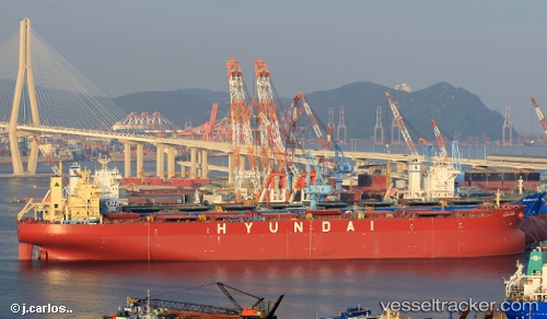
Hyundai Komipo
Current StatusWhere is the vessel?
Hyundai Komipo is currently in Near Hatch Point, based on AIS data received less than 1h ago.
Latest AIS update:
Current position: 48.73122° N, 123.56230° W (Near Hatch Point)
Average speed (last 7 days): Loading…
Average speed (last 30 days): Loading…
Vessel profile: Hyundai Komipo is a Bulk Carrier with dimensions 46m x 273m.
This page combines live AIS, route history, probable destination signals, nearby traffic, and port activity for practical vessel monitoring.
The current position of vessel Hyundai Komipo is 48.73122 lat / -123.56230 lng. Updated: 2026-04-03 12:18:55 UTCNearest reference points:
- Near North Saanich
- Near Salt Spring Island
- Near GANGES
Details:
Live Vessel Hyundai Komipo Analytics (details, animations, etc.)
Recent AIS points (UTC):
2026-04-03 05:24:55 UTC · 48.72941, -123.55637 · SOG 0 kn · COG 299°2026-04-03 07:39:55 UTC · 48.73018, -123.56230 · SOG 0.3 kn · COG 70°
2026-04-03 09:57:56 UTC · 48.73048, -123.56224 · SOG 0.1 kn · COG 71°
2026-04-03 12:18:55 UTC · 48.73122, -123.56230 · SOG 0.2 kn · COG 98°