 vesseltracker.com
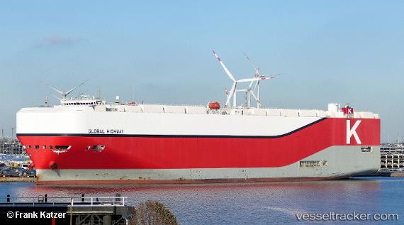
 Global Highway
Current Status
Where is the vessel?
Global Highway is currently in 113 nm SW of Panakukang, based on AIS data received about 8h ago.
Latest AIS update:
Current position: 6.34833° S, 117.90167° E (113 nm SW of Panakukang)
Average speed (last 7 days): Loading…
Average speed (last 30 days): Loading…
Vessel profile: Global Highway is a Vehicles Carrier with dimensions 199m x 199m.
This page combines live AIS, route history, probable destination signals, nearby traffic, and port activity for practical vessel monitoring.
The current position of vessel Global Highway is -6.34833 lat / 117.90167 lng. Updated: 2026-04-08 15:40:46 UTCNearest reference points:
- 117 nm W of Panakukang
- 74 nm NE of Pagerungan
- 37 nm E of Pagerungan
Currently sailing under the flag of Panama ![]()
Details:
Live Vessel Global Highway Analytics (details, animations, etc.)
Recent AIS points (UTC):
2026-04-08 13:19:50 UTC · -6.37167, 118.45167 · SOG 14 kn · COG -1°2026-04-08 15:31:52 UTC · -6.34833, 117.93667 · SOG 14 kn · COG -1°
2026-04-08 15:40:46 UTC · -6.34833, 117.90167 · SOG 14 kn · COG -1°
2026-04-08 15:40:46 UTC · -6.34833, 117.90167 · SOG 14 kn · COG -1°