 vesseltracker.com
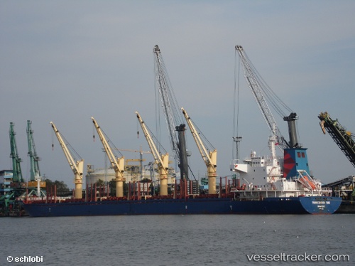
 BOS BROOK
Current Status
Where is the vessel?
BOS BROOK is currently in 53 nm SE of Ordzhonikidze, based on AIS data received about 15d ago.
Latest AIS update:
Current position: 44.21879° N, 36.05256° E (53 nm SE of Ordzhonikidze)
Average speed (last 7 days): Loading…
Average speed (last 30 days): Loading…
Vessel profile: BOS BROOK is a Bulk Carrier with dimensions 180m x 28m.
This page combines live AIS, route history, probable destination signals, nearby traffic, and port activity for practical vessel monitoring.
The current position of vessel BOS BROOK is 44.21879 lat / 36.05256 lng. Updated: 2026-04-02 23:33:40 UTCNearest reference points:
- 21 nm S of Taman'
- 79 nm SE of Yalta
- 17 nm SW of Taman'
Currently sailing under the flag of St Vincent and Grenadines ![]()
BOS BROOK built in 2010 year
Deadweight:
32688 tDetails:
Live Vessel BOS BROOK Analytics (details, animations, etc.)
Recent AIS points (UTC):
2026-04-02 23:33:40 UTC · 44.21879, 36.05256 · SOG 11.1 kn · COG -1°