 vesseltracker.com
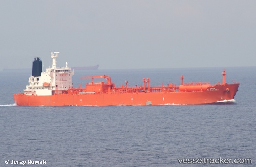
Al Barrah
Current StatusWhere is the vessel?
Al Barrah is currently in 21 nm E of Fateh Terminal, based on AIS data received about 5h ago.
Latest AIS update:
Current position: 25.49924° N, 54.88077° E (21 nm E of Fateh Terminal)
Average speed (last 7 days): Loading…
Average speed (last 30 days): Loading…
Vessel profile: Al Barrah is a Lpg Tanker with dimensions 28m x 170m.
This page combines live AIS, route history, probable destination signals, nearby traffic, and port activity for practical vessel monitoring.
The current position of vessel Al Barrah is 25.49924 lat / 54.88077 lng. Updated: 2026-04-13 11:47:37 UTCNearest reference points:
- 17 nm NW of Free Port
- Near Free Port
- 16 nm NW of Jebel Ali
Details:
Live Vessel Al Barrah Analytics (details, animations, etc.)
Recent AIS points (UTC):
2026-04-13 09:19:15 UTC · 25.27667, 54.72945 · SOG 9.3 kn · COG -1°2026-04-13 11:30:52 UTC · 25.47107, 54.86070 · SOG 10.4 kn · COG 32°
2026-04-13 11:47:37 UTC · 25.49924, 54.88077 · SOG 6.8 kn · COG -1°
2026-04-13 11:47:37 UTC · 25.49924, 54.88077 · SOG 6.8 kn · COG -1°