 vesseltracker.com
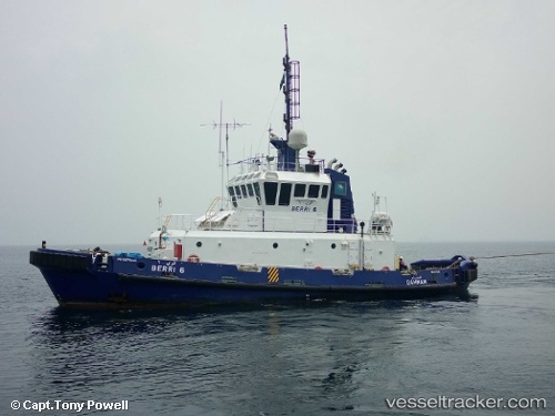
Berri 6
Current StatusWhere is the vessel?
Berri 6 is currently in 18 nm N of Ras Tannurah, based on AIS data received less than 1h ago.
Latest AIS update:
Current position: 26.92638° N, 50.05979° E (18 nm N of Ras Tannurah)
Average speed (last 7 days): Loading…
Average speed (last 30 days): Loading…
Vessel profile: Berri 6 is a Tug with dimensions 10m x 300m.
This page combines live AIS, route history, probable destination signals, nearby traffic, and port activity for practical vessel monitoring.
The current position of vessel Berri 6 is 26.92638 lat / 50.05979 lng. Updated: 2026-04-22 20:07:23 UTCNearest reference points:
- Near Al Jubayl
- Near Sayhat
- Near DAMMAM
Details:
Live Vessel Berri 6 Analytics (details, animations, etc.)
Recent AIS points (UTC):
2026-04-22 16:40:02 UTC · 26.92616, 50.06179 · SOG 0.1 kn · COG -1°2026-04-22 17:26:14 UTC · 26.92616, 50.06178 · SOG 0.4 kn · COG 203°
2026-04-22 19:34:21 UTC · 26.92620, 50.06009 · SOG 0.4 kn · COG 220°
2026-04-22 20:07:23 UTC · 26.92638, 50.05979 · SOG 0.2 kn · COG 212°