 vesseltracker.com
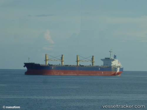
 MEGHNA FREEDOM
Current Status
Where is the vessel?
MEGHNA FREEDOM is currently in Near SALDANHA, based on AIS data received about 1h ago.
Latest AIS update:
Current position: 33.01843° S, 17.98716° E (Near SALDANHA)
Average speed (last 7 days): Loading…
Average speed (last 30 days): Loading…
Vessel profile: MEGHNA FREEDOM is a Bulk Carrier with dimensions 190m x 32m.
This page combines live AIS, route history, probable destination signals, nearby traffic, and port activity for practical vessel monitoring.
The current position of vessel MEGHNA FREEDOM is -33.01843 lat / 17.98716 lng. Updated: 2026-04-03 20:26:46 UTCNearest reference points:
- Near Saint Helena Bay
- Near Laaiplek
- 12 nm W of ROBBEN ISLAND
Currently sailing under the flag of Bangladesh ![]()
MEGHNA FREEDOM built in 2013 year
Deadweight:
56088 tDetails:
Live Vessel MEGHNA FREEDOM Analytics (details, animations, etc.)
Recent AIS points (UTC):
2026-04-03 14:14:46 UTC · -33.01839, 17.98715 · SOG 0 kn · COG 20°2026-04-03 16:23:46 UTC · -33.01842, 17.98718 · SOG 0.1 kn · COG 20°
2026-04-03 17:23:46 UTC · -33.01844, 17.98712 · SOG 0 kn · COG 20°
2026-04-03 20:26:46 UTC · -33.01843, 17.98716 · SOG 0 kn · COG 20°