 vesseltracker.com
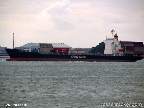
 HR BALU
Current Status
Where is the vessel?
HR BALU is currently in 92 nm SW of Cox's Bazar, based on AIS data received less than 1h ago.
Latest AIS update:
Current position: 20.36590° N, 90.81020° E (92 nm SW of Cox's Bazar)
Average speed (last 7 days): Loading…
Average speed (last 30 days): Loading…
Vessel profile: HR BALU is a Container Ship with dimensions m x m.
This page combines live AIS, route history, probable destination signals, nearby traffic, and port activity for practical vessel monitoring.
The current position of vessel HR BALU is 20.36590 lat / 90.81020 lng. Updated: 2026-04-20 18:05:22 UTCNearest reference points:
- 36 nm SE of Cox's Bazar
- 23 nm NW of Cox's Bazar
- Near Chittagong
Currently sailing under the flag of Bangladesh ![]()
Details:
Live Vessel HR BALU Analytics (details, animations, etc.)
Recent AIS points (UTC):
2026-04-20 13:30:00 UTC · 21.04450, 91.31413 · SOG 11.2 kn · COG 210°2026-04-20 15:23:31 UTC · 20.76600, 91.10037 · SOG 10.2 kn · COG 218°
2026-04-20 16:19:12 UTC · 20.63213, 90.99802 · SOG 10.4 kn · COG 215°
2026-04-20 18:05:22 UTC · 20.36590, 90.81020 · SOG 10.2 kn · COG 214°