 vesseltracker.com
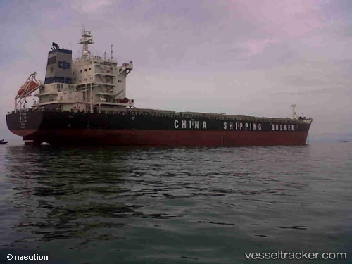
 BAO YUE LING
Current Status
Where is the vessel?
BAO YUE LING is currently in 136 nm W of Akpo, based on AIS data received about 1h ago.
Latest AIS update:
Current position: 2.97669° S, 58.56006° E (136 nm W of Akpo)
Average speed (last 7 days): Loading…
Average speed (last 30 days): Loading…
Vessel profile: BAO YUE LING is a Bulk Carrier with dimensions m x m.
This page combines live AIS, route history, probable destination signals, nearby traffic, and port activity for practical vessel monitoring.
The current position of vessel BAO YUE LING is -2.97669 lat / 58.56006 lng. Updated: 2026-04-17 13:48:06 UTCNearest reference points:
- 104 nm S of Akpo
Currently sailing under the flag of China ![]()
Details:
Live Vessel BAO YUE LING Analytics (details, animations, etc.)
Recent AIS points (UTC):
2026-04-17 07:43:27 UTC · -4.12167, 58.02667 · SOG 12 kn · COG -1°2026-04-17 10:17:23 UTC · -3.63833, 58.24833 · SOG 12 kn · COG -1°
2026-04-17 11:17:39 UTC · -3.45167, 58.33833 · SOG 12 kn · COG -1°
2026-04-17 13:48:06 UTC · -2.97669, 58.56006 · SOG 12.6 kn · COG 18°