 vesseltracker.com
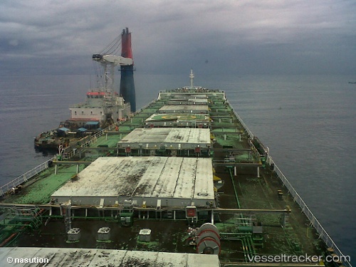
Da Tang 711
Current StatusWhere is the vessel?
Da Tang 711 is currently in 73 nm NW of Samalaju, based on AIS data received about 1h ago.
Latest AIS update:
Current position: 4.43333° N, 112.45167° E (73 nm NW of Samalaju)
Average speed (last 7 days): Loading…
Average speed (last 30 days): Loading…
Vessel profile: Da Tang 711 is a Bulk Carrier with dimensions 32m x 226m.
This page combines live AIS, route history, probable destination signals, nearby traffic, and port activity for practical vessel monitoring.
The current position of vessel Da Tang 711 is 4.43333 lat / 112.45167 lng. Updated: 2026-03-31 05:52:36 UTCNearest reference points:
- 42 nm W of BINTULU
- Near BINTULU
- 28 nm SW of BINTULU
Details:
Live Vessel Da Tang 711 Analytics (details, animations, etc.)
Recent AIS points (UTC):
2026-03-30 23:22:38 UTC · 4.41667, 111.41167 · SOG 9 kn · COG -1°2026-03-31 02:07:37 UTC · 4.41833, 111.85833 · SOG 9 kn · COG -1°
2026-03-31 03:31:39 UTC · 4.43833, 112.07833 · SOG 9 kn · COG -1°
2026-03-31 05:52:36 UTC · 4.43333, 112.45167 · SOG 9 kn · COG -1°