 vesseltracker.com
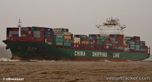
 Xin Yang Pu
Current Status
Where is the vessel?
Xin Yang Pu is currently in 40 nm S of Tanjung Pandan, based on AIS data received about 1h ago.
Latest AIS update:
Current position: 3.37500° S, 107.39667° E (40 nm S of Tanjung Pandan)
Average speed (last 7 days): Loading…
Average speed (last 30 days): Loading…
Vessel profile: Xin Yang Pu is a Container Ship with dimensions 263m x 263m.
This page combines live AIS, route history, probable destination signals, nearby traffic, and port activity for practical vessel monitoring.
The current position of vessel Xin Yang Pu is -3.37500 lat / 107.39667 lng. Updated: 2026-04-15 15:26:08 UTCNearest reference points:
- 46 nm NW of Tanjung Pandan
- 96 nm E of Widuri
- 53 nm NE of Tanjung Pandan
Currently sailing under the flag of China ![]()
Xin Yang Pu built in 2008 year
Deadweight:
52200 tDetails:
Live Vessel Xin Yang Pu Analytics (details, animations, etc.)
Recent AIS points (UTC):
2026-04-15 09:28:33 UTC · -2.17898, 107.16712 · SOG 13 kn · COG 177°2026-04-15 12:05:08 UTC · -2.74833, 107.21667 · SOG 13 kn · COG -1°
2026-04-15 13:26:07 UTC · -3.01000, 107.30167 · SOG 11 kn · COG -1°
2026-04-15 15:26:08 UTC · -3.37500, 107.39667 · SOG 12 kn · COG -1°